


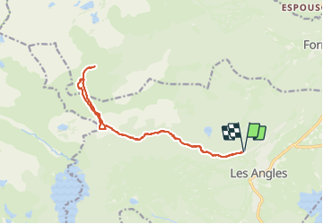

13.9 km | 19.1 km-effort

User


FREE GPS app for hiking
 SityTrail
IGN / Geographical institutes
SityTrail World
The world is yours!
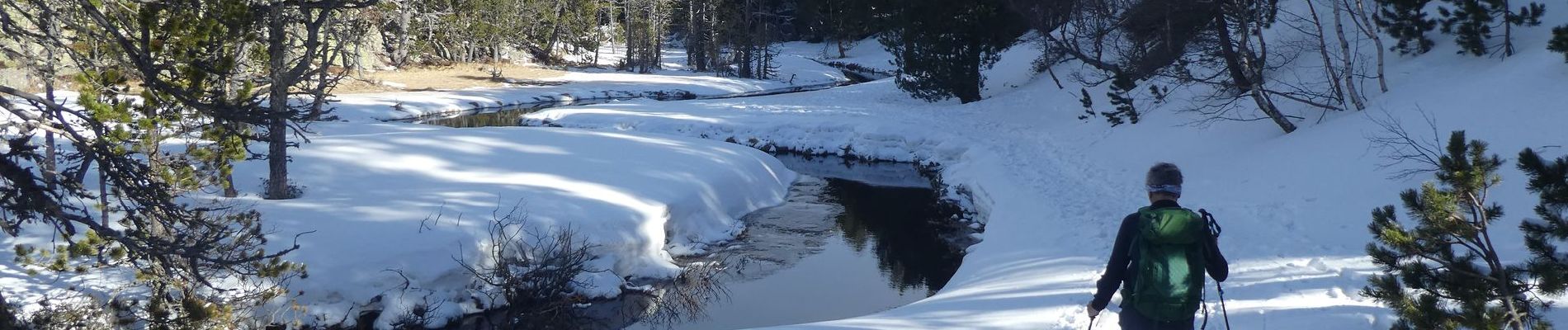
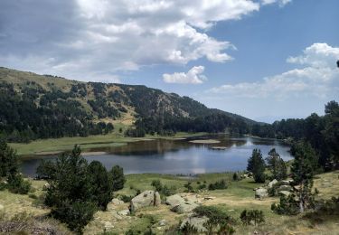
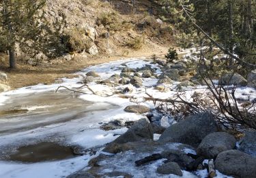
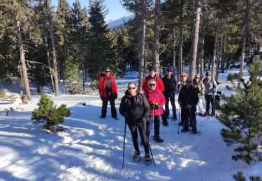
Trail Snowshoes of 16.8 km to be discovered at Occitania, Pyrénées-Orientales, Les Angles. This trail is proposed by eric.mignot.
depuis le haut de la station des Angles, en direction du refuge des Camporells, par l'estany de la Balmeta


Snowshoes
Walking

Walking

Walking

Walking

Snowshoes
Walking
Walking
Snowshoes